A WEE GUIDE TO THE FULL CIRCLE
Your Glasgow subcrawl, your pace.
A Glasgow subcrawl follows the Subway circle, hopping off to explore the pubs around its stations. Use the idea as a starting point: mix in a museum, a riverside walk or a food stop, and make the day your own.
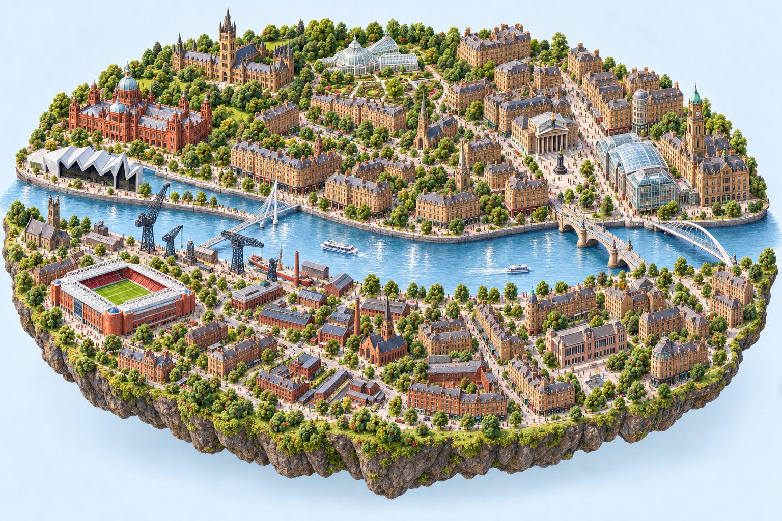
What is a Glasgow subcrawl?
The familiar idea is to stop for a drink near each of Glasgow's 15 Subway stations. You can also use the same circle for a day of sightseeing, a few pub stops or an alcohol-free adventure. There is no need to complete the circuit or order a drink at every station.
The Subway links the city centre, the south side of the Clyde and the West End. SPT's map shows eight stations north of the river and seven south of it. Outer Circle trains run clockwise and Inner Circle trains anticlockwise; both serve every station. See the official Subway map ↗.
Choose a starting point and a scale
Start at the station that suits your arrival. Buchanan Street works for a city-centre start; Hillhead puts you among the West End's lanes; Govan makes heritage and the river part of your first stop.
For a shorter outing, choose three or four stations with places you actually want to visit. Use the day planner's time and interest choices, then check the result against opening hours. For the full circle, keep a flexible list of alternatives and be ready to skip a stop when the group wants to linger elsewhere.
Follow the 15-stop circle
This list starts at Hillhead and continues around the circuit. You can begin anywhere and reverse the order. The train goes under the Clyde between St Enoch and Bridge Street, and again between Govan and Partick.
- Hillhead — West End
- Kelvinbridge — Kelvin & Woodlands
- St George's Cross — Woodlands
- Cowcaddens — City Centre
- Buchanan Street — City Centre
- St Enoch — Clyde & City Centre
- Bridge Street — Laurieston & Gorbals
- West Street — Southside
- Shields Road — Southside
- Kinning Park — Southside
- Cessnock — Southside
- Ibrox — Ibrox & Bellahouston
- Govan — Govan
- Partick — West End & Riverside
- Kelvinhall — West End
Choose your pub stops
Each station guide offers 8 pub or bar options from the directory, ordered by approximate straight-line distance. They are choices for planning, not a promise that every venue is open, serves food or can accommodate your group. A place that looks close across the Clyde may require a longer walk to a bridge.
For a compact first outing, try the short West End social circuit. For a day with more sightseeing, combine the Laurieston area, Govan's heritage and Kelvinhall's museums and pubs, choosing only the visits that fit your available time.
Leave room for food, water and detours
Agree a food break before you start and check the kitchen times of any pub you plan to eat in. Soft drinks are part of the day too; you can make the whole trip alcohol-free. The passport records stations explored, so a park, museum or riverside stop counts just as much as a pub visit.
If your group wants different things, pick a neighbourhood where there are several choices close together. The West End wander and Govan and riverside heritage walk offer ready-made alternatives to a full pub circuit.
Check the journey before heading out
- Use SPT ticket information ↗ for current fares and payment options.
- Check first and last trains ↗ for your travel day, especially for a Sunday outing.
- Look at Subway service notices before departure. An empty disruption feed does not guarantee normal running.
- Review SPT accessibility information ↗ and individual venue access details if steps, hills or cobbles affect your plans.
- For a larger group, contact your chosen venues about space and any booking or age policies.
A few useful answers
Do I need to visit all 15 stations?
No. A short section gives you more time for each place. You can save station stamps in your passport and explore another part of the circle on a different day.
How long should I allow?
It depends on the number of visits, walking and how long you stay at each place. The train circuit and a day hopping on and off are very different trips. Our themed walks show rough allowances; use the planner to choose a two-, four- or six-hour outing, then check it against your own pace and bookings.
Can I do it without drinking alcohol?
Yes. Choose soft drinks, swap pubs for sights, or follow a culture and walking route. The family-day option in the planner leaves pub stops out.
Are the distances walking distances?
No. They are approximate straight-line distances between mapped points. Use each place's walking-directions link to check streets, entrances and bridges.